Yale GIS Accelerator
About the Accelerator
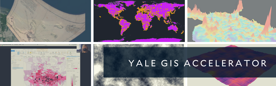
The Yale GIS Accelerator is a four-day GIS instruction program for Yale affiliates who want to learn how to integrate GIS into their research projects, but find it difficult to register for a semester-long course.
Learning Objectives
Using a guided practice approach, participants will be introduced to tools for analyzing, manipulating, and visualizing spatial data. We will focus on a fundamental understanding of data structures for representing spatial information and different methods to generate insights. At the end of the Accelerator, participants will have a solid foundation in the use of GIS and will be able to:
- Identify and use spatial data types and formats
- Process non-spatial data for mapping (display XY, geocode, join, georeference, digitize new features)
- Produce maps of layered spatial data with appropriate symbology, coordinate systems, legends, etc.
- Understand basic principles of cartography and the uses of 3D visualization
- Perform basic spatial analytic techniques to enhance understanding of spatial data. Examples include spatial join, buffer, intersect, union, compute distances, topographic analysis, and map algebra.
- Understand the basics of spatial statistics (specifically spatial autocorrelation and its effects in OLS regression)
- Use an online sharing system for broad distribution of mapped results
- Identify ethical considerations in GIS analysis, geospatial research, and cartographic visualization, and protect the locational data privacy of research subjects and communities
Instructor
Jill Kelly is the primary GIS instructor at the Yale School of Public Health. She has also taught GIS at Yale School of Architecture, the Government Department of Harvard University, Harvard’s Center for Geographic Analysis, and the University of Pennsylvania’s Environmental Studies Program.
Application Information
The Yale GIS Accelerator is designed for those who have a project and dataset, and need support to learn principles of GIS and spatial data management. Registration selection will be based on the necessity of geospatial analysis for their current and proposed projects.
The application period is closed. If you would like to be notified about the next Yale GIS Accelerator, please add your Yale contact information to the interest list.